Mount April
(31.6 km)
Minimum altitude: 1,804 m
Maximum altitude: 3,275 m
Difficulty level: T2 / T3
Ascent: 1'814 m
Descent: 1'850 m
Time for the mixed route: 7h30
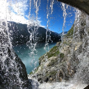
To get there: A9 to Martigny. Then direction Sembrancher, Le Châble, Fionnay and Mauvoisin dam.
Where to park: at the foot of the dam
Course which begins below the Mauvoisin dam and which was partly done by e-MTB. In fact, given the distance to be covered, the approach was carried out by mountain bike. You will follow the lake of the same name to arrive at the place called Grande Charmotane where the bikes have been left. You will then begin the climb along the window glacier. The last stretch to the top is a bit more difficult because it is very steep.
This hike is not very technical but requires some endurance.
Data provided by: https://www.instagram.com/jiid


© 2019 by Swisstreks. Any reproduction or distribution is prohibited without the authorization of the author.